The India-US space partnership has reached an important milestone as the NASA-ISRO Synthetic Aperture Radar (NISAR) mission completes its first year in orbit. Launched on July 30, 2025, aboard ISRO’s GSLV-F16, NISAR has now entered an important phase of scientific observation, generating data that can help researchers understand changes taking place across Earth’s surface.
A Satellite Built to Watch a Changing Earth
NISAR is different from conventional Earth-observation satellites because it uses radar technology rather than relying on sunlight. The mission carries two radar systems: NASA’s L-band instrument and ISRO’s S-band instrument. Together, they allow scientists to examine Earth’s land, vegetation, ice and other surfaces in considerable detail.
The satellite’s large 12-metre radar reflector is central to its observation capabilities. After launch, the antenna was successfully deployed in August 2025, allowing the spacecraft to begin its scientific mission.
From Forests to Farmland

During its first year, NISAR’s data has opened new possibilities for studying several parts of the Earth system. Scientists are using its observations to examine ecosystem dynamics, the cryosphere and changes occurring within Earth’s solid surface.
The mission can also contribute to applications involving forests, agriculture, soil conditions, coastal regions and natural hazards. Because radar observations can work through cloud cover and do not depend on daylight, the satellite can provide information when conventional optical imagery is limited.
A New Tool for Tracking Earth’s Surface
One of NISAR’s major scientific strengths is its ability to detect very small changes in Earth’s surface. Repeated radar observations can help scientists identify movements and transformations that may otherwise be difficult to see.
This capability could become particularly valuable for understanding earthquakes, landslides, glacier and ice-sheet changes, vegetation dynamics and other processes that continuously reshape the planet.
More Than a Space Mission
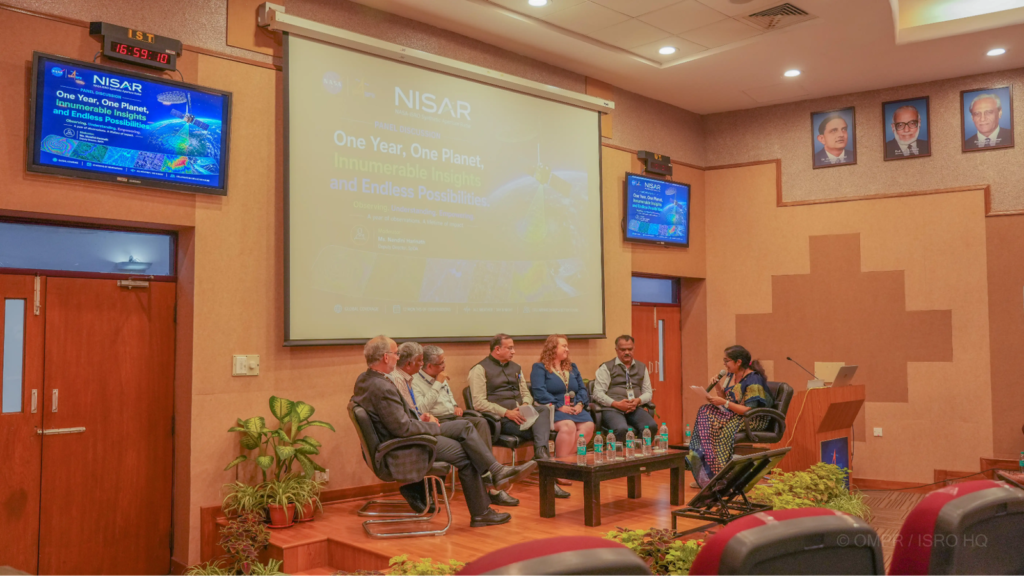
The first year of NISAR has also highlighted the growing scientific cooperation between India and the United States. At an August 2026 event in Bengaluru, teams from ISRO, NASA and NASA’s Jet Propulsion Laboratory reviewed the spacecraft’s performance, data generation, scientific results and future applications.
ISRO describes NISAR as the first joint ISRO-NASA mission and the first satellite to combine L-band and S-band synthetic-aperture radar capabilities. The mission is therefore significant not only for the data it produces but also for the technology and international scientific collaboration behind it.
What Comes Next?
With its first year successfully completed, the focus is now shifting toward making greater use of NISAR’s enormous volume of Earth-observation data. Scientists expect continued observations to improve understanding of how ecosystems, ice-covered regions and Earth’s surface are changing.
NISAR’s biggest contribution may ultimately be measured not by its time in orbit, but by how its data helps scientists track a planet that is constantly changing.
For India and the United States, the mission represents a powerful example of how space technology can move beyond exploration and become a tool for understanding—and protecting—Earth itself.